Testing Drones for Mars in the Mojave Desert
Unlocking the Secrets of Mars Exploration: How the Mojave Desert is Helping to Test Drones for the Red Planet
As the world's leading space agency, NASA has been at the forefront of space exploration for decades. One of the most ambitious projects currently underway is the Mars Exploration Program, which aims to send humans to the Red Planet in the near future. But before astronauts can set foot on Mars, a lot of groundwork needs to be done to ensure that the technology is ready. That's where the Mojave Desert comes in – a testing ground for drones that will one day explore the Martian terrain.
The Challenge of Mars Exploration
Mars is a harsh environment, with temperatures that can drop to -125°C at night and rise to 20°C during the day. The atmosphere is thin, and the terrain is rocky and unforgiving. These conditions make it difficult for robots to navigate and communicate with Earth. To overcome these challenges, NASA's Mars Exploration Program is developing new technologies that will enable robots to explore the Martian surface independently.
The Role of Drones in Mars Exploration
Drones are an essential part of the Mars Exploration Program. They will be used to scout out the terrain, gather data, and provide communication relay services for future missions. But before they can be sent to Mars, they need to be tested in a simulated environment that mimics the Martian conditions. That's where the Mojave Desert comes in.
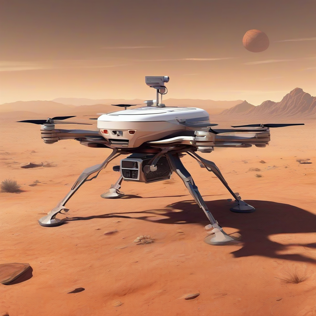
Testing Drones in the Mojave Desert
The Mojave Desert is a unique environment that offers a similar terrain and climate to Mars. The area is characterized by vast expanses of sand dunes, rocky outcrops, and limited vegetation. These conditions make it an ideal testing ground for drones that will one day explore the Martian surface.
In September 2025, researchers from NASA's Jet Propulsion Laboratory (JPL) conducted a series of tests in the Dumont Dunes area of the Mojave Desert. The tests were designed to evaluate the performance of a research drone in a Martian-like environment. The drone was equipped with advanced navigation software that would enable it to navigate the terrain and communicate with Earth.
The Navigation Software
The navigation software being developed by NASA's JPL is a critical component of the Mars Exploration Program. It will enable drones to navigate the Martian terrain and communicate with Earth in real-time. The software uses a combination of GPS, inertial measurement units, and computer vision to determine the drone's position and velocity.
The software is designed to be flexible and adaptable, allowing it to handle a wide range of scenarios and environments. It can also be updated and modified in real-time, enabling the drone to respond to changing conditions and unexpected events.
The Benefits of Testing in the Mojave Desert
Testing drones in the Mojave Desert offers several benefits for the Mars Exploration Program. The desert environment provides a similar terrain and climate to Mars, allowing researchers to evaluate the performance of drones in a realistic and controlled setting.
The tests also provide valuable insights into the behavior of drones in a Martian-like environment. By analyzing the data collected during the tests, researchers can identify areas for improvement and optimize the performance of the drones.
Real-World Applications
The technology being developed by NASA's Mars Exploration Program has real-world applications beyond Mars exploration. The navigation software being developed for the drones can be used in a variety of applications, including search and rescue operations, environmental monitoring, and infrastructure inspection.
The drones themselves can be used for a range of tasks, including aerial surveying, crop monitoring, and disaster response. The technology has the potential to revolutionize the way we conduct operations in a variety of fields, from agriculture to construction.
Conclusion
The Mojave Desert is playing a critical role in the development of drones for Mars exploration. The unique environment provides a similar terrain and climate to Mars, allowing researchers to evaluate the performance of drones in a realistic and controlled setting. The navigation software being developed by NASA's JPL is a critical component of the Mars Exploration Program, enabling drones to navigate the Martian terrain and communicate with Earth in real-time.
As the world's leading space agency, NASA is pushing the boundaries of space exploration and development. The technology being developed for the Mars Exploration Program has real-world applications beyond Mars exploration, and has the potential to revolutionize the way we conduct operations in a variety of fields.
Source: https://www.nasa.gov/image-article/testing-drones-for-mars-in-the-mojave-desert/