Landsat 9: More Than Just A Picture
The Unbroken Record: Landsat 9's Legacy of Earth Observation
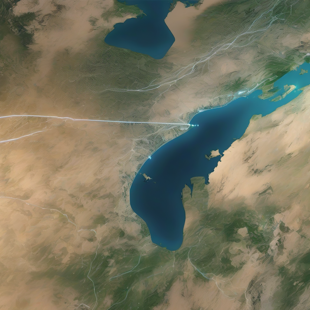
For over 50 years, the Landsat program has provided the longest continuous satellite record of Earth's land surface from space. Landsat 9, launched in 2021, is the latest mission in this remarkable legacy, building on decades of Earth observation with upgraded technology, including enhanced radiometric resolution, improved signal-to-noise performance, and polar night thermal imaging. Working in tandem with Landsat 8 to map the entire planet every eight days, Landsat 9's data is being fused with the European Space Agency's Sentinel-2 satellites to enable near-daily global observations, delivering sharper, more detailed observations that help scientists and communities monitor a changing planet.
A New Era of Earth Observation
Landsat 9 is not just a continuation of the Landsat program; it's a significant upgrade. With its enhanced radiometric resolution, Landsat 9 can collect data in greater detail than its predecessors. This means that scientists can now detect subtle changes in the Earth's surface, such as shifts in ice extent, changes in how surfaces reflect sunlight, and even the growth of glacial lakes forming where ice once stood. The quadrupled radiometric sensitivity of Landsat 9 makes a real difference when capturing data over the planet's brightest surfaces, like snow and ice.
Cutting Through the Static
In addition to its enhanced radiometric resolution, Landsat 9 also boasts improved signal-to-noise performance. This means that images collected by Landsat 9 have less interference, making it easier for scientists to detect subtle changes in the Earth's surface. It's like trying to hear a whisper in a noisy room – Landsat 9 quiets the static so we don't miss anything important. This is particularly important over dark surfaces like water, which can harbor harmful algal blooms that can spread quickly, threatening drinking water supplies, local wildlife, and even human safety.
Seeing in the Dark
Landsat 9 doesn't clock out when the sun goes down. Its onboard thermal sensor, TIRS, measures our planet's surface heat even in darkness. This means that scientists can monitor urban heat islands, volcanic hotspots, and water temperature at night. Since 2022, the US Geological Survey's special request data program has implemented the Landsat Extended Acquisition of the Poles, or LEAP for short, taking advantage of Landsat 9's ability to see in the dark to acquire imagery in polar regions year-round when the sun can set for up to six months at the poles.
A Global Team of Satellites
Landsat 9 isn't working alone. It's part of a global team of satellites, where collaboration across agencies and nations is giving us the clearest, most consistent view of Earth yet. NASA's Harmonized Landsat Sentinel-2 project fuses data from Landsats 8 & 9 with that of the European Space Agency's Sentinel-2 A, B, and C satellites to form a seamless, consistent surface reflectance record. In this "virtual constellation," Landsat 9 contributes its spectral precision and calibrated data, helping enable global observations every 1-2 days at 30-meter resolution.
The Future of Sustainable Land Imaging
Landsat 9 is more than just today's mission; it's part of the foundation for the future. Through the Sustainable Land Imaging program, NASA and the U.S. Geological Survey aim to preserve our ability to keep a continuous, reliable record of Earth's land for decades to come. This means not just flying satellites, but building the technology, partnerships, and planning needed to keep the record unbroken. Within SLI, NASA's Sustainable Land Imaging–Technology initiative is testing new instruments that could make future missions smaller, more capable, and more efficient.
Conclusion
For over 50 years, Landsat satellites have given us an unbroken record of our changing planet. In just four years, Landsat 9 has brought that vision into even sharper focus – capturing millions of scenes, advancing how we track water, ice, and land, and strengthening the world's longest Earth-observation record. It's not just another satellite in orbit; it's a bridge – carrying the Landsat legacy forward with enhanced technology while preparing the foundation for the future of sustainable land imaging. Because with Landsat, every image is more than a picture – it's a calibrated digital record, providing knowledge we can use to understand, protect, and sustain life on Earth.
Source: https://science.nasa.gov/missions/landsat/landsat-9-more-than-just-a-picture/